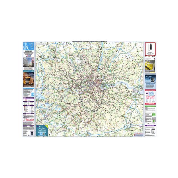
London Freight Driver Map (Route Planning & Folded for ease of use)
The folded London Freight Map ideal for drivers to route plan and to get the bigger picture of navigating across London. With hardcover for ease of use. The map includes: Borough Boundaries The defined boundaries of the London Lorry Control Scheme (LLCS) The routing options for weekend and nighttime restrictions...
£29.00
The folded London Freight Map ideal for drivers to route plan and to get the bigger picture of navigating across London. With hardcover for ease of use.
The map includes:
- Borough Boundaries
- The defined boundaries of the London Lorry Control Scheme (LLCS)
- The routing options for weekend and nighttime restrictions of LLCS
- All excluded (unrestricted) roads clearly marked
- Navigation aids that include:
- Tube and rail stations.
- Industrial estates
- Parks and key landmarks
- All the height, weight and width restrictions clearly marked.
- Bridge strike (top 10)
- LEZ (Low Emission Zone)
A quality product created by The Pie Guide in cooperation with TfL, London Councils and the London Local Authorities.


